GEOJOT
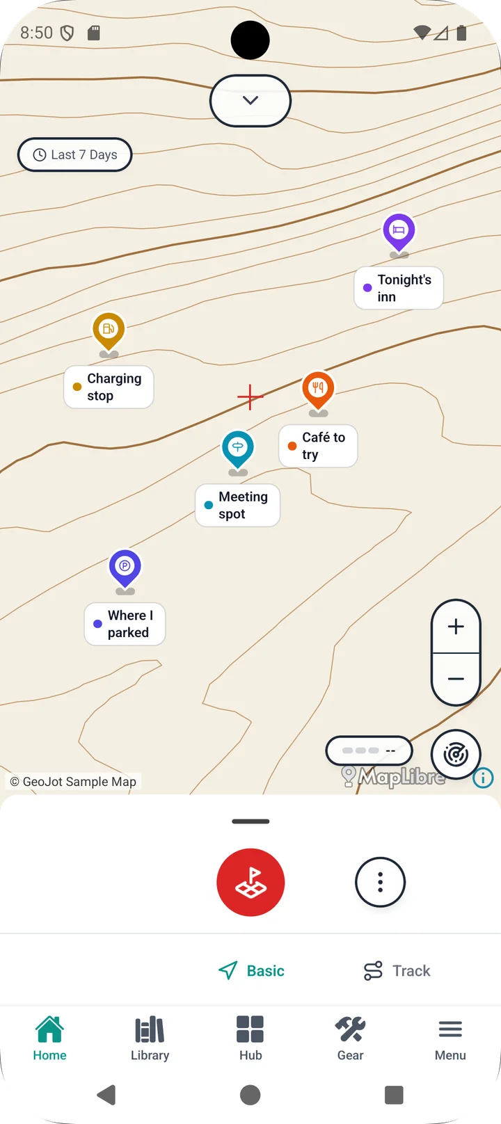
Record where you are, like taking a photo.
One tap saves where you are as a single record, a Jot, much like a photo.
Coming soon
Illustrative image. Actual screens may differ.
THE IDEA
A Jot is to a place what a photo is to a moment.
Just as a photo keeps how it was taken, a Jot keeps what the place was like.
Photo
Shot details
Taken 2026-11-03 14:21
1/250 s · f/1.8 · ISO 100
Camera: back
Jot
Place details
35.68124, 139.76712
Accuracy ±5 m
Pressure 1013 hPa · Altitude 12 m
SENSOR
Turn your phone into an endless sensor.
GeoJot gets the most out of the sensors your device already has. A phone is a bundle of capable sensors, so let's put them to work.
Works with your phone's built-in sensors, and can also connect to smartwatches and external systems.
* Some features are not available in the preview version.
Presets for every occasion
Save your favorite combinations as presets, and record the information that suits the occasion in one tap.
Hiking
AltitudeAir pressureHeadingCity walk
AddressStargazing
HeadingIlluminance
* Some data acquisition may require a paid upgrade.
LIBRARY
Organize with categories and tags.
Morning walk
35.6812, 139.7671 · Tokyo, Chiyoda
Trailhead
36.2380, 137.9720 · Nagano, Matsumoto
Outcrop #3
34.9780, 138.9500 · Shizuoka, Izu
Illustrative image. Actual screens may differ.
ON THE ROADMAP
Where GeoJot is heading.
- Route recording
- GPX editor
- Export (CSV and more)
The preview version may change before release, and recorded data may not carry over.